Evening all
Coming to you tonight from Threeways, which is where the highway from Queensland meets the Stuart Highway.
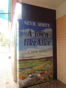
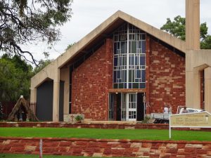
As promised, some photos taken of Alice Springs. Very keen to return one day soon!
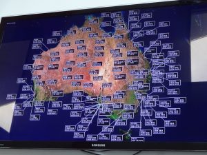
All RFDS planes flying in Australia at that time

Today we have traveled north through Alice, Ti Tree and Tennants Creek and have ended up 10km north of Tennants Creek at the Crossroads.
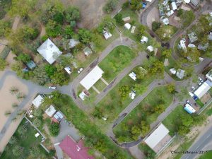
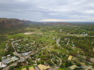
Chris put up his drone around our awesome campground in Alice, check out some of his photos below. After breakfast we left the others with their broken down camper and started heading north.
Around 30km north of Alice we came across one of these things
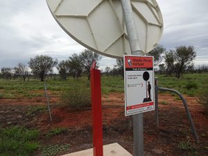
which is supposed to give your phone coverage to make a call out. It actually worked!
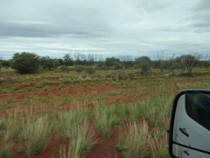
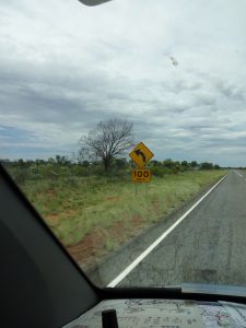
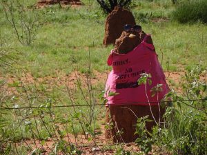
Thought I would throw in here a few photos taken on the road; note the massive ant hills (and the ones decorated) and also the warning 100km corner signs.
watch out for people
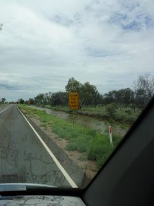
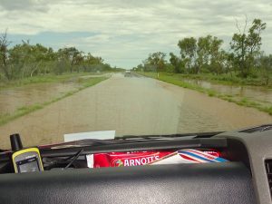
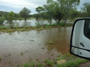
We were told flooding was going to be an issue in NT, but with no rain, I wasn’t quite expecting it to be this bad so early on. Its like driving through Kaeo or Kawakawa!
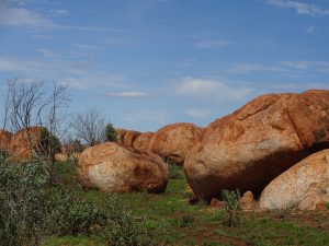
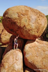
One stop we did make was to the Devils Marbles, created naturally by erosion exposing the granite beneath. A really interesting place to stop and visit and sacred to the indigenous people of this area.
Finally made it to Tennants Creek and the Crossroads Had a swim and now heading to the Roadhouse for a drink at the bar and some dinner.
Until tomorrow
Chris & Dan
KM Traveled: 566
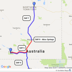
Map: